The Scott River flows North from the Marble Mountains to it's confluence with the Klamath River. It is a fun and beautful run, but isn't done nearly as often as the nearby Cal Salmon since it's season is more sporadic and a bit shorter. The mountain scenery here is outstanding and the rapids are perfect for expert boaters looking for a challenge.
Featured Outfitters
 Momentum River Expeditions (541) 488-2525 offers world-class rafting and adventure travel trips in Oregon, Northern California, Idaho, Alaska, and beyond.
Since a road follows most of this run closely, there are several places to start. If you put in at Indian Scotty Campground, you'll run several miles of non stop Class IV and V rapids including Boulder Creek Falls and Canyon Creek Rapid. These are both solid Class V rapids and Boulder Creek Falls is commonly portaged.
A great alternate put-in that skips these rapids is about 3 miles downstream of Indian Scotty Campground at Bridge Flat Campground where the main road crosses a bridge over the Scott River. The 10.5 miles of river below here is full of fun pool/drop Class IV rapids with the occasional Class V. The most difficult rapids are White House, Tompkins Creek Rapid, and Schuler Gulch. Of these three, White House is the best known and was once marked by a white house on the left side of the river. The white house is now gone and a larger brown house has taken it's place.
You can take out at the bridge at Scott Bar or continue through 3.5 miles of easy Class II and III to the confluence with the Klamath River.
Trip Highlights
Mile 0: Put-in at Indian Scotty Campground. The next six miles contain many challenging rapids.
Mile 1.3: Boulder Creek Falls (V-VI) is a probably portage.
Mile 1.5: Canyon Creek Rapid (IV+) begins immediately after Boulder Creek Falls. Canyon Creek enters from the left.
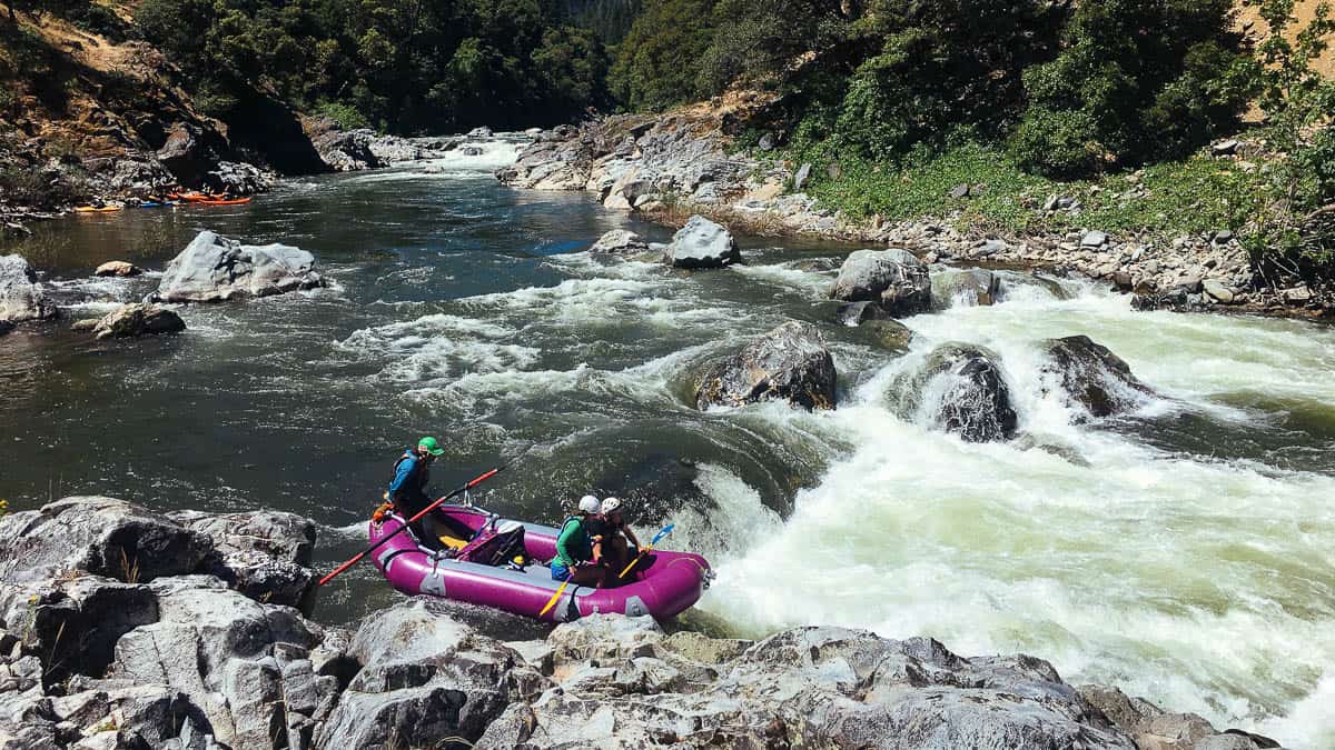
Dentist Chair Rapid on the Scott River
Mile 3: River access at Kelsey Creek where the Scott River Road crosses the river. This is where most commercial raft trips start.
Mile 4.7: Keep your eyes open for a large brown house on river left. This is the marker for White House Rapid (V-) which should be scouted on the right.
Mile 5.5: Tompkins Creek Rapid (V-) can be scouted on the right. The road goes away from the river below this rapid.
Mile 9: Schuler Gulch Rapid (V-) is a long rapid that can be scouted on river right.
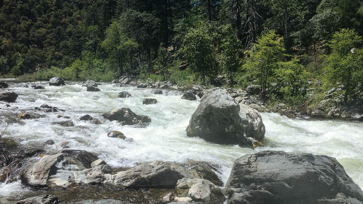
Schuler Gulch Rapid on the Scott River
Mile 13.5: Take-out at Scott Bar. You can also continue downstream 4 mile and take out at the confluence of the Klamath and Scott Rivers.